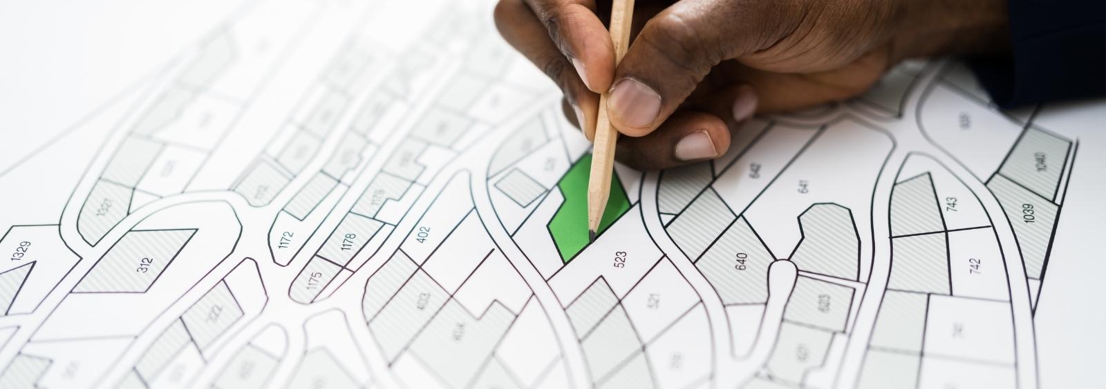
When applying for a land severance, you should consult with the planning department. They will be able to assist you with the application process, advise you what supporting material you must submit (e.g. sketches, plans) and discuss with you special land severance requirements as set out in the city's official plan and zoning by-law. The planning advisory and adjustment committee may require that the plan be signed by an Ontario land surveyor at your expense. You need to submit one original copy of the application with a copy of the sketch. The application fee is $904 ($800 + HST).
To obtain a consent application or a sample site plan example, click the applicable links.
Property Sketch Information
Ontario Regulation 197/96, as amended, of the Planning Act, provides the requirement of a sketch to show the following:
- the boundaries and dimensions of the subject land, the part that is intended to be severed, and the part that is intended to be retained
- the boundaries and dimensions of any land abutting the subject land that is owned by the owner of the subject land
- the location of all land previously severed from the parcel originally acquired by the current owner of the subject land
- the approximate location of all natural and artificial features (for example, buildings, railways, roads, watercourses, drainage ditches, banks of rivers or streams, wetlands, wooded areas, wells, and septic tanks) that are located on the subject land and on land that is adjacent to it and in the applicant's opinion, may affect the application
- the current uses of land that is adjacent to the subject land (for example, residential, agricultural, or commercial)
- the location, width, and name of any roads within or abutting the subject land, indicating whether it is an unopened road allowance, a public traveled road, a private road, or a right-of-way
- if access to the subject land is by water only, the location of the parking and boat docking facilities to be used
- the location and nature of any easement affecting the subject land
- the approximate distance between the subject land and the nearest township lot line or landmark such as a bridge or railway crossing

